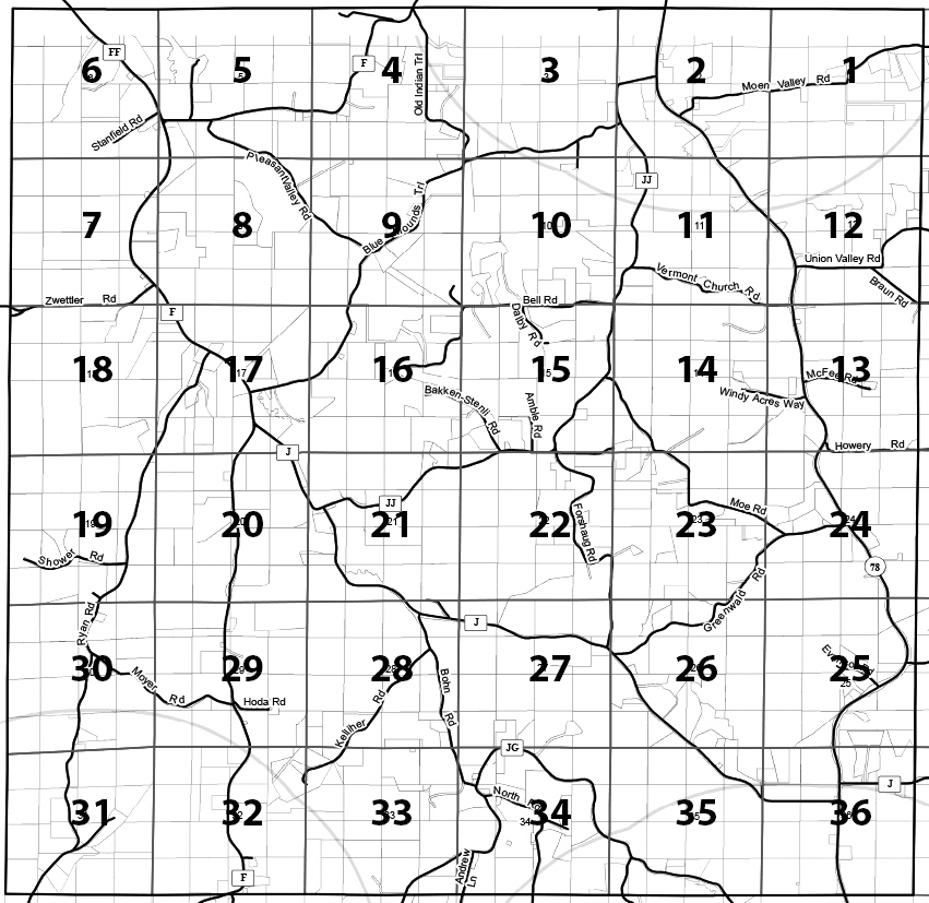
Section Map
Click the township section link below to view current development
and available potential development rights (PDRs) in each section.
Each PDF has two pages; the first page shows current residences, the second page shows current residences and potential development rights.
Important notes:
- The number of PDRs associated with a property is not a guarantee of this number. PDR counts will need to be confirmed via a Town of Vermont and Dane County density study.
- The locations of the PDRs on these maps is for illustration purposes only and does not indicate where a potential residence must be located on the parcel.
- PDRs indicated “unlikely” are those that are associated with land owned by the Town of Vermont, Wisconsin DNR or a land conservancy.
- All land divisions and home siting must adhere to the Town of Vermont’s comprehensive land use plan, Land Division ordinance, and Driveway ordinance. PDRs may be indicated in a location on these maps that would not meet these requirements.
- The goal of the maps is to serve as a visual tool that may be used as a source of information to guide land use planning.
- If you are interested in determining the number of development rights associated with your property, contact plancommission@townofvermont.com
